Investment
York County, NE: Northwest York Industrial Park
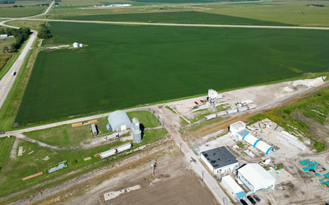
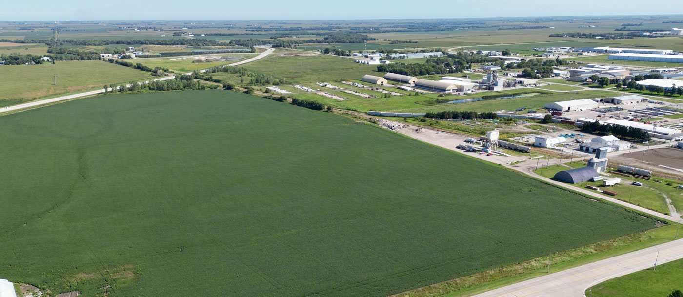
Northwest York Industrial Park
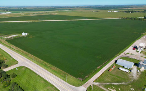
Property Description
Property is currently going through due-diligence and master planning. This site is currently zoned agriculture but has been identified in the City of York future Land Use map as industrial, and it is planned to bring the property into city limits as it develops.
Property Overview
- Available Acres: 200
- Topography: The Location Map indicates the relief is gently sloping to the south, with elevations around 1,650 feet above sea level.
- Zoning: Agriculture, Industrial
- Within City Limits: No
The site is adjacent to the City of York Corporate Limits Boundary in the northern portion of the City’s Extraterritorial Jurisdiction. It is anticipated to be developed in two phases (see preferred concept), with east of Hwy 81 being developed first.
- Eastern Boundary: West 26th Street and Existing Industrial Development. Adjacent to BNSF Benedict Spur Track
- Western Boundary: Road L.. Adjacent to York Municipal Airport
- Northern Boundary: Agricultural and Natural Landr.
- Southern Boundary: West 25th Street.